

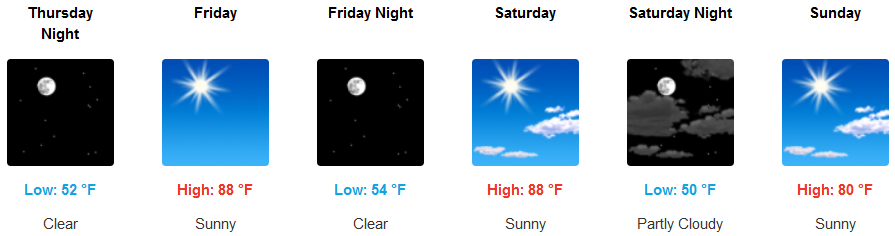
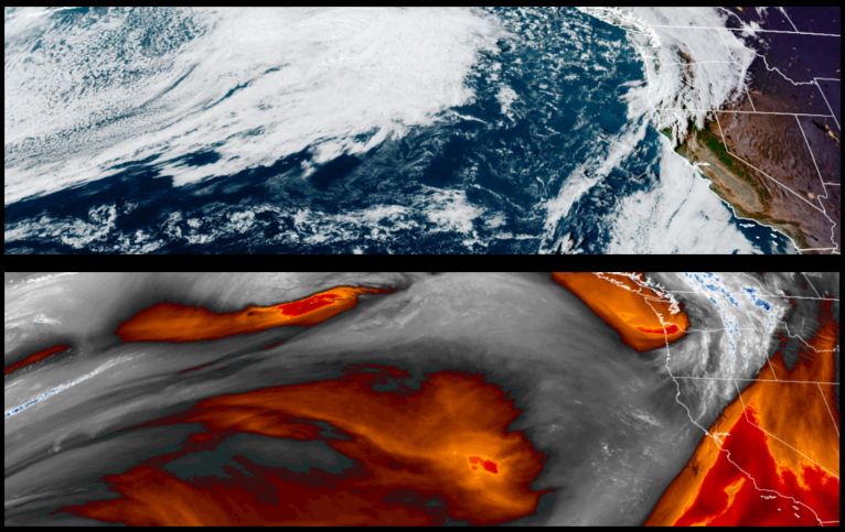
High pressure remains in place off the coast into the weekend after a brief front passed over the region Wednesday, bringing lower temperatures and localized areas of moisture before quickly moving off to the east.
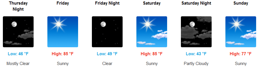
Mostly sunny skies are forecast to continue inland, with a slight northwest wind and hotter high temperatures near triple digits. Afternoon highs are expected to be in the mid to upper 80’s, with morning lows in upper 40’s to the low 50’s.
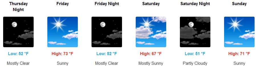
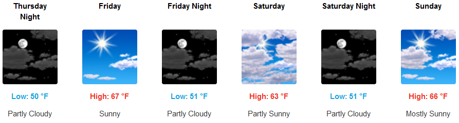
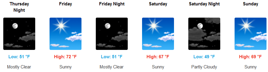
Along the coast, mostly sunny skies are expected to continue with the warmest temperatures going into the weekend. Afternoon highs are expected to reach the mid to upper 60’s with morning lows in the in low 50’s.
Brookings:
Crescent City:
Gold Beach:
Cave Junction:
Grants Pass:
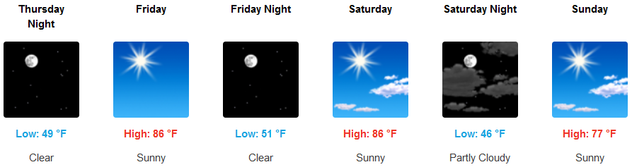
Medford: