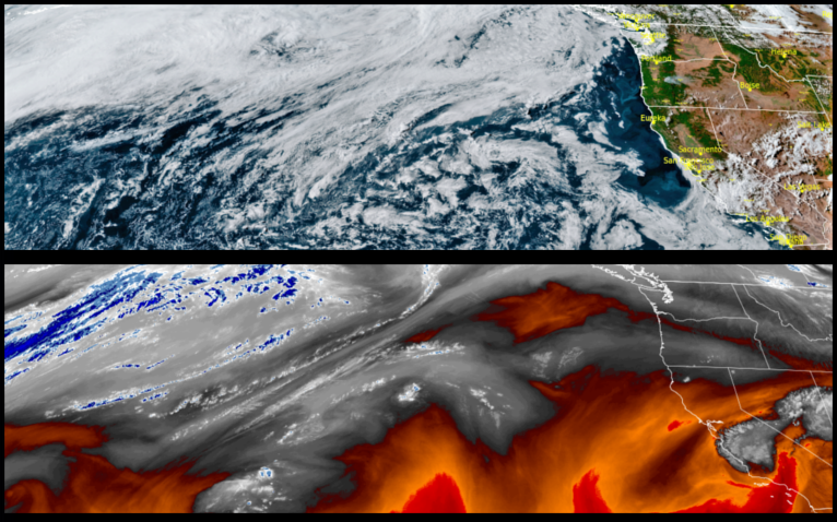
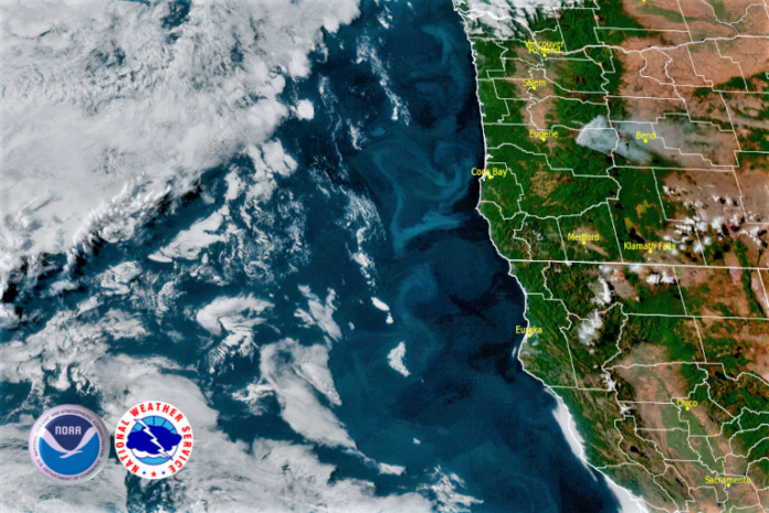
High pressure building off the Oregon coast is expected to keep skies clear and temperatures warm building into a extremely hot end of the weekend and start of the next work week. The National Weather Service has issued an Excessive Heat Watch inland from the coast for much of southwestern Oregon and northern California.

This weather pattern is forecast to be a long-duration heat event beginning to build as the work week comes to an end, and getting warmer as the weekend progresses. Areas just a few miles inland from the coast could see near record high temperatures with afternoon highs expected to reach triple digits. Evening lows are forecast to range from the upper 60’s to low 70’s with afternoon highs reaching the mid 100’s.
Coastal areas are forecast to stay relatively cool comparatively speaking, under mostly clear to partly cloudy skies into the weekend. Early morning lows along the coast will range in the upper 50’s to low 60’s with afternoon highs getting into the low to mid 70’s warming as the weekend progresses.
Brookings:

Crescent City:

Gold Beach:

Cave Junction:

Grants Pass:

Medford:


