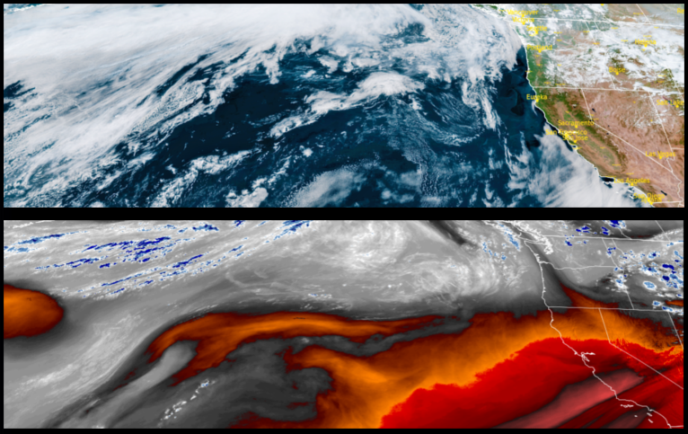
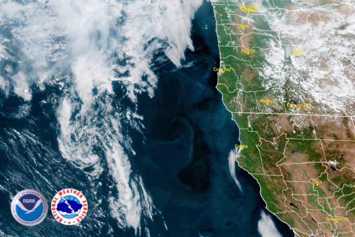
The low pressure system over eastern Utah is slowly moving to the east and continues to spin unstable air into eastern Oregon, circulating the chance for isolated thunderstorms with little to no rainfall over eastern Oregon. As the weekend progresses, haze from local fires will give way to clear skies and warm weather with a slight decrease in high temperatures over the week.

Inland areas and the valley are forecast for little changes in the weather with clear skies and warm temperatures continuing and reaching triple digits late in the weekend. Inland temperatures are forecast to continue to rise slightly with warm nights in low to mid 60’s, and afternoon highs reaching the mid to upper 90’s.
Along the coast, hazy skies from local fires will start the workweek are expected with localized areas of patchy early morning fog and the possibility of a marine layer developing in some locations until late morning with temperatures in the mid to upper 50’s. Afternoons are forecast to be clear, sunny and warm, with afternoon highs warming into the low 70’s.
Brookings:

Crescent City:

Gold Beach:

Cave Junction:

Grants Pass:

Medford:


