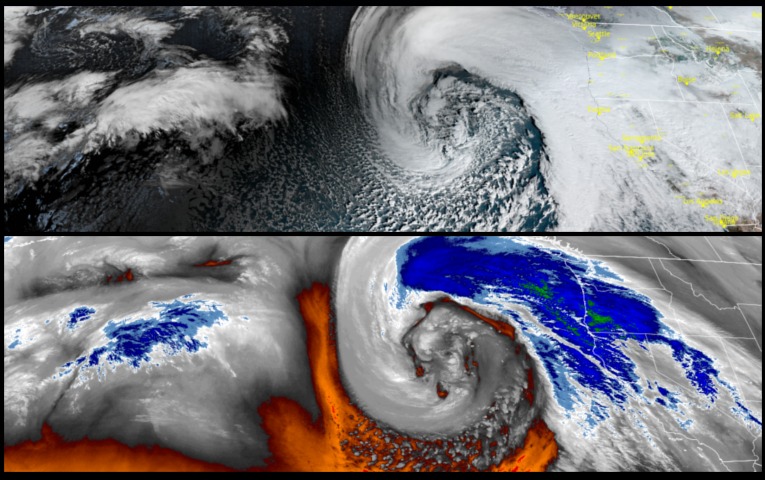
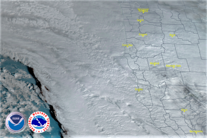
The current weather pattern is forecast to continue into next week as low pressure systems continue to quickly be swept through the area with the next weather system to impact the northern California and southwest Oregon region expected on Friday.

Inland areas could experience significant precipitation before the pattern shifts slightly south once again as northern and central areas of California continue to take the brunt of the heavy precipitation and strong winds. Winds will increase ahead of the front expected Friday with mainly light precipitation beginning to move inland increasing Friday evening into late Saturday. Rain is forecast everyday through the weekend with low temperatures in the upper 30’s to low 40’s, and highs in the low 50’s.
High Surf Warnings issued by the National Weather Service remain in effect along northern California and southwest Oregon coastlines as another new system moves into the region beginning Friday with heaviest rainfall totals impacting coastal ranges where localized instances of flash flooding are anticipated to continue. Rain is expected by mid Friday morning with wind gusts reaching up to 30mph. Early morning low temperatures will remain in the mid 40’s with highs in the low to mid 50’s.
Brookings:

Crescent City:

Gold Beach:

Cave Junction:

Grants Pass:

Medford:


