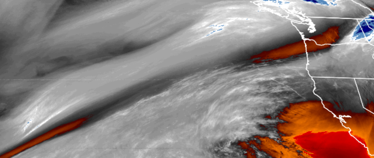
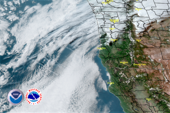
As the latest round of high pressure begins to move further east, the new air mass is breaking down the trailing edge of high pressure and we should expect partly cloudy skies with a dip in temperatures as the work week ends.
A weak unorganized low pressure system is forecast to move into the area, and some isolated areas may see some light precipitation beginning Saturday afternoon with chances of precipitation increasing as we go into Monday.

Temperatures will be about 10 degrees cooler than the last few days on average with lows in the mid 40’s in the mornings and high’s reaching the upper 50’s to low 60’s in some areas.
Brookings:

Crescent City:

Gold Beach:

Cave Junction:

Grants Pass:

Medford:


