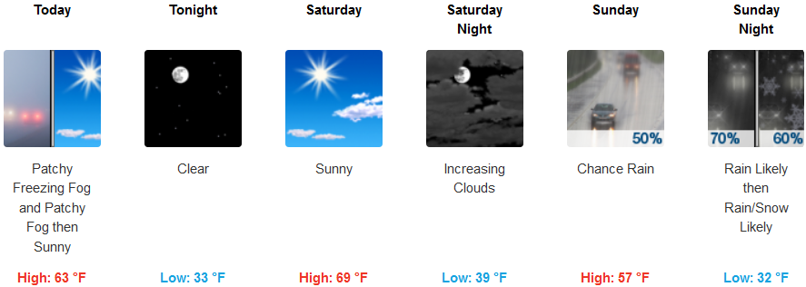
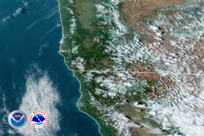
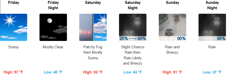
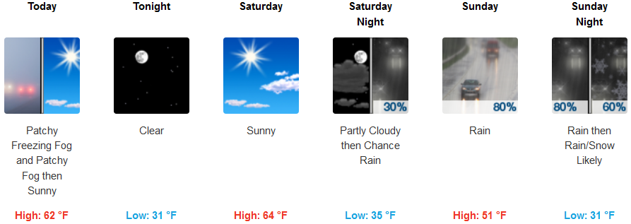
A strong low pressure system is beginning to push the ridge of high pressure that has been giving us these beautiful teases of Spring these last few days, off to the east, bringing cold air and precipitation.
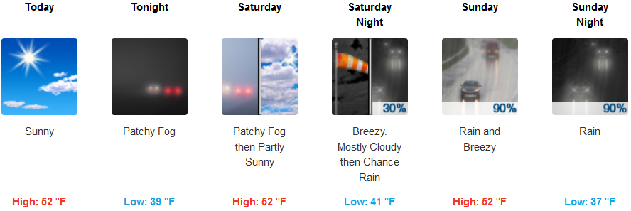
Temperatures will average between the mid 30’s to mid 50’s along the coast, but temperatures will be much cooler at higher elevations and into the valley over the week end with temperatures in the low 30’s to upper 50’s with snow possible inland.
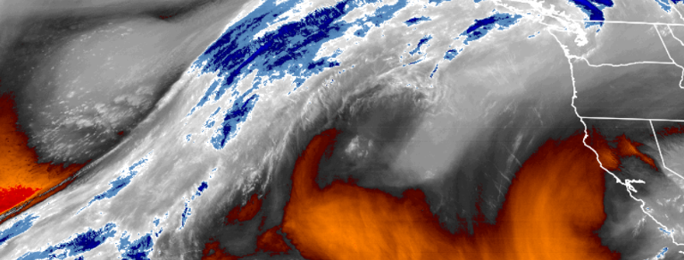
Cold air will remain in the area as precipitation begins to move in Saturday afternoon with rain on the coast and the possibility of snow at higher elevations.
Brookings:

Crescent City:
Gold Beach:
Cave Junction:
Grants Pass:

Medford:
