Although it has been some time since our last Chetco Bar Fire update, it is important to know that there is still very much work still being done. Over the next several days, two twenty person hand crews, support engines, and a chipper will be working to mop up the remaining fire in the Wheeler Creek area, where a low-intensity ground fire has been creeping and smoldering in the thick leaf litter on the forest floor.
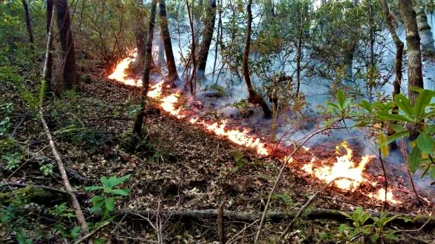
Data from an infrared flight late last night revealed a small pocket of dispersed heat in this area. The flight also revealed that the remaining instances of isolated heat are all located well within the interior of the fire area.
Grading, repair, and seeding operations are ongoing throughout the perimeter. Crews have completed road grading operations near Mt. Emily, and firefighters continue to patrol the fire perimeter, mopping up any areas of concern and completing suppression repair as needed.
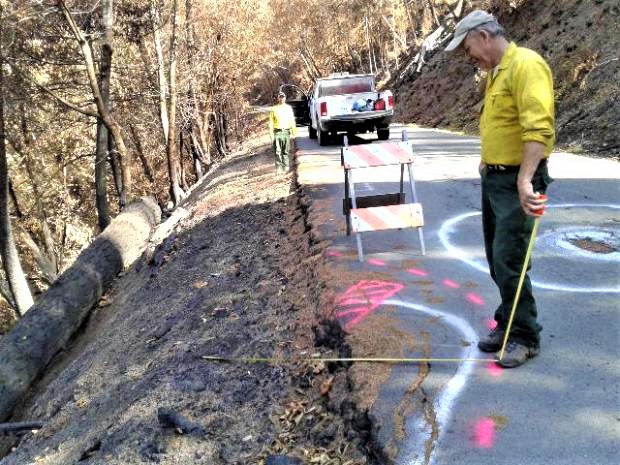
A Burned Area Emergency Response (BAER) Team arrived Saturday, September 30, in Brookings and has now completed their assessment of the Chetco Bar Fire. BAER is an emergency program aimed at managing imminent unacceptable risks to human life and safety, property, or critical natural and cultural resources from post-wildfire damaging events. The primary purpose of the BAER program is to assess and prevent damage from rain events on burned areas. The fire covered slightly over 190,000 acres within the Rogue River-Siskiyou National Forest, Gold Beach and Wild Rivers Ranger Districts, Bureau of Land Management (BLM), and Coos Bay Forest Protection Lands.
Forest Service BAER assessment teams are established by Forest Supervisors before wildfires are fully contained. The teams coordinate and work with the USDA Natural Resources Conservation Service, Bureau of Land Management, Fish & Wildlife Service, National Weather Service, local counties, State Department of Transportation, and other federal, state, and local agencies to strategically assess potential post-fire impacts to the watersheds burned from wildland fires.
Some of the Critical Values considered during Burned-Area Emergency Response include:
- Human life and safety on or in close proximity to burned National Forest System Lands.
- Buildings, water systems, utility systems, road and trail prisms, dams, wells or other significant investments on or in close proximity to the burned NFS lands.
- Water used for municipal, domestic, hydropower, or agricultural supply or waters with special state or federal designations on or in close proximity to the burned NFS lands.
- Soil productivity and hydrologic function on burned NFS lands are assessed.
- Critical habitat or suitable occupied habitat for federally listed threatened or endangered terrestrial, aquatic animal or plant species on or in close proximity to the burned NFS lands.
- Native or naturalized communities on NFS lands where invasive species or noxious weeds are absent or present in only minor amounts.
- Cultural resources on NFS lands which are listed on or potentially eligible for the National Register of Historic Places.
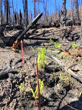
These assessment teams are staffed by specially trained professionals that include hydrologists, soil scientists, engineers, geologists, biologists, botanists, archeologists, geographic information system mapping specialists, recreation and trails specialists, and others who evaluate the burned area and prescribe temporary emergency response actions to protect the land quickly and effectively. Team members will closely assess the watersheds for post-fire rain related impacts such as increased flooding, debris flow potential, and increased soil erosion. The goal is to minimize threats to life or property and to stabilize and prevent unacceptable degradation to natural and cultural resources resulting from the fire effects, then determine the need for emergency measures and treatments on National Forest lands.
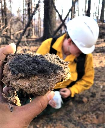
Soil scientists, hydrologists, and geologists evaluate burn severity and assess watershed conditions including the potential for accelerated erosion and runoff from loss of vegetation and charred soils. They use this information to help gauge where runoff might be the heaviest and how to mitigate damage from runoff during heavy rainfall. These scientists work closely with mapping and weather experts in defining how areas may be affected by heavy runoff due to the fire.
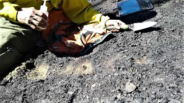
Archeologists evaluate the damage to previously recorded historical sites.
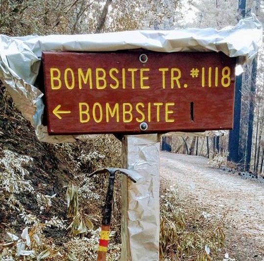
Engineers and recreation staff determine the need to eliminate hazard trees along roads and campgrounds within the burn area and assess other infrastructure.
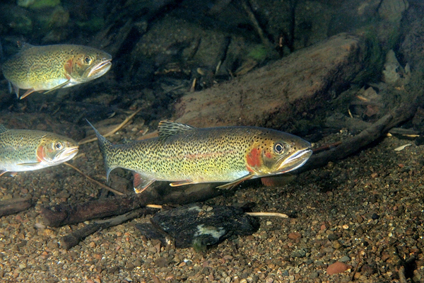
Fish and wildlife biologists assess habitat conditions related to native fish and wildlife important to the area.
The BAER Team then recommends various treatments and time-critical activities to be completed before the first damaging storm event. Those recommendations are submitted as a proposed rehabilitation plan to the Rogue River-Siskiyou National Forest and the Pacific Northwest Region of the USFS for approval. Once approved, the Forest will receive funding to complete rehabilitation efforts within the fire area.
With fire assessments completed the treatment plan delivered to the Rogue River Siskiyou Forest Supervisor the following week, Treatments will be installed within one year from the date of full containment for the Chetco Bar Fire and may be monitored for up to three years.
For more information visit https://inciweb.nwcg.gov/incident/5385/, or contact Virginia Gibbons at (541) 690-6681 or John Chatel at (971) 801-5379.


