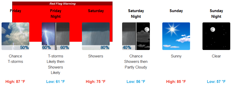
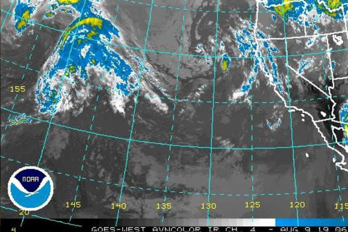
An upper level low will meander offshore this week before moving onshore this weekend. As a result, we will see a gradual cooling trend for inland areas throughout the week, culminating on Saturday with high temperatures well below normal for early August.
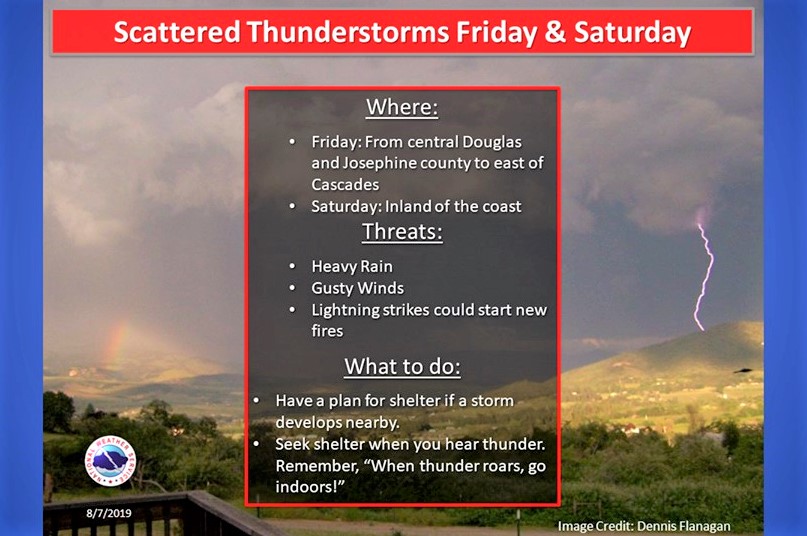
A strong system for this time of the year will move up from the south on Friday and could bring frequent lightning on dry fuels late Friday morning into Friday evening. Thunderstorms are expected to produce little or no rainfall to start, then the chance for wetting rain is expected to increase Friday evening.
Medford:

Brookings:

Crescent City:

Gold Beach:

Abundant lightning on dry fuels could produce numerous new fire starts that pose a threat to life and property, and may overwhelm initial attack capabilities. However, wetting rainfall may occur under cores of thunderstorms.

On Saturday, winds will be generally south to southwest at 15 to 20 mph with gusts to 25 mph, but gusty and erratic winds are possible in the vicinity of showers and thunderstorms.

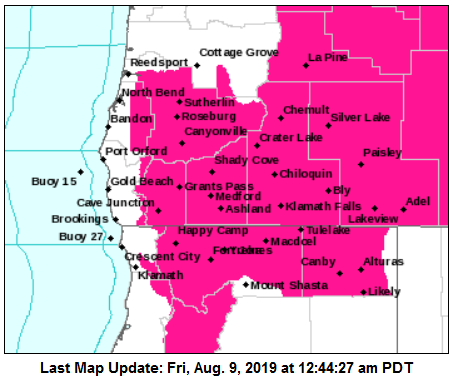
A red flag warning means that critical fire weather conditions are forecast.
Lightning should be mainly isolated through Friday changing to scattered on Saturday.
The risk of thunderstorms could continue overnight through Saturday evening, though these should produce significant rainfall. Thunderstorms are expected to end late Saturday evening.


