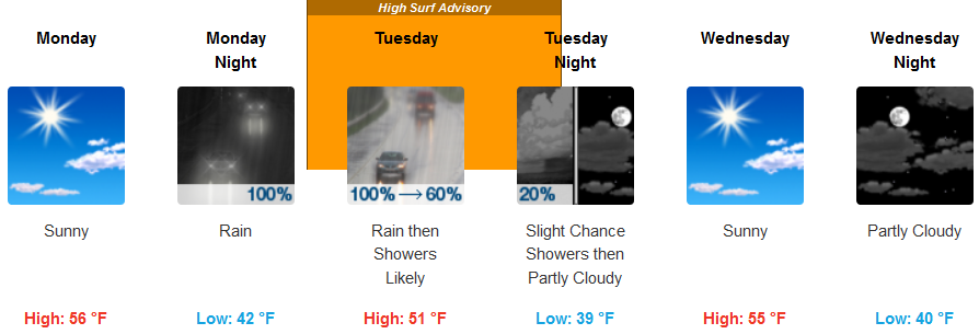
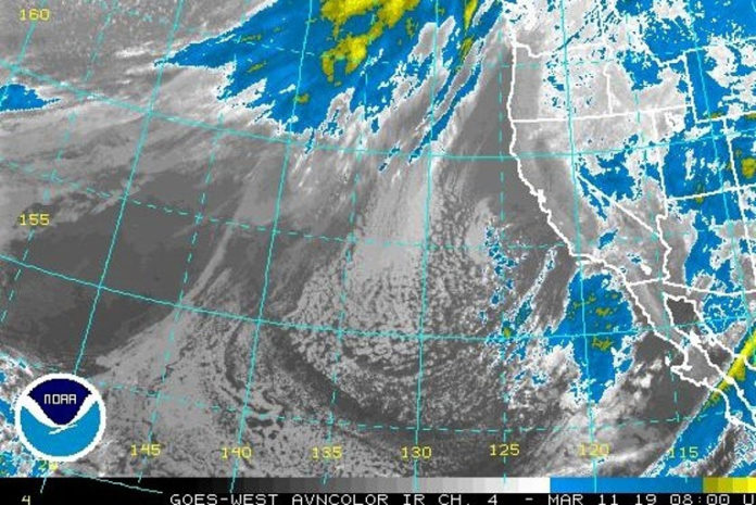
Two Pacific storms will bring heavy mountain snow to portions of the West. Coastal and valley rain with mountain snow from a weather system will be moving through late Monday through Wednesday. Snow levels with that system could dip to around 2,000 feet Tuesday night into Wednesday morning before precipitation moves out.
Brookings:

Medford:

A heavy northwest swell Monday will continue to produce breakers around 15 feet overnight. A larger northwest swell will arrive early Tuesday morning and produce breakers of around 22 feet through Tuesday evening with possible sneaker waves and dangerous currents.
Sudden and unusually high beach run-up is possible. This can take beach goers by surprise, resulting in possible injury or drowning. Logs and other debris can become lifted and floated, increasing risk to those in or near the water.
Areas along the south Oregon coast from Florence to the California state line, especially for west and northwest facing beaches.

Please Like, Share and Follow the …


