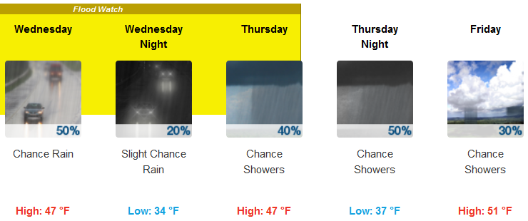
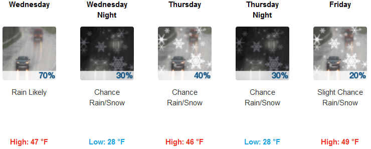
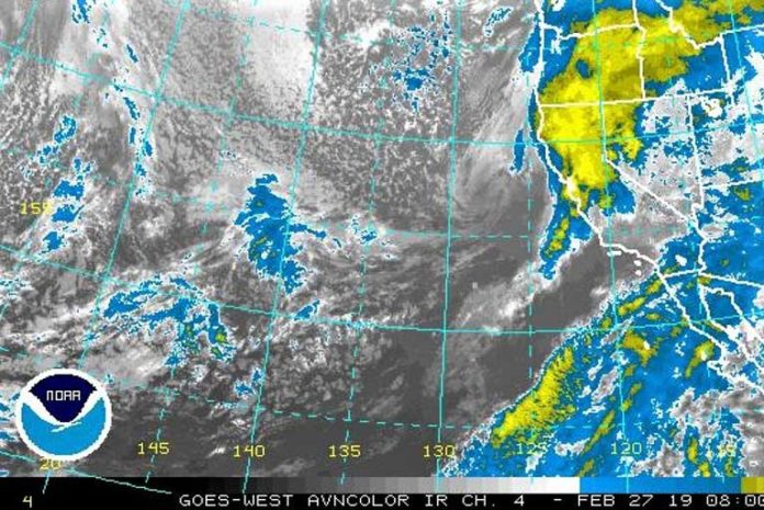
An upper-level low will spin off the coast of Washington state over the next couple of days, and this along with a slow-moving surface low-pressure system and associated fronts will help cause precipitation in the area.
Brookings:

Medford:

Coastal rain is expected to be lighter than the past couple of days, so flooding is less of a threat. However, smaller impulses of upper-level energy will traverse the Northwest on Wednesday and on Thursday night.
With the ongoing cold weather, light snow is even possible in the lower elevations.
Please Like, Share and Follow the …


