

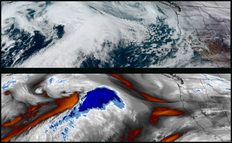
Rain is expected to remain in the forecast with unstable air and localized showers move over the region before another low pressure system pushes onshore Monday bringing more precipitation through midweek.
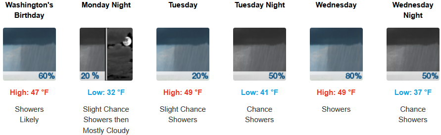
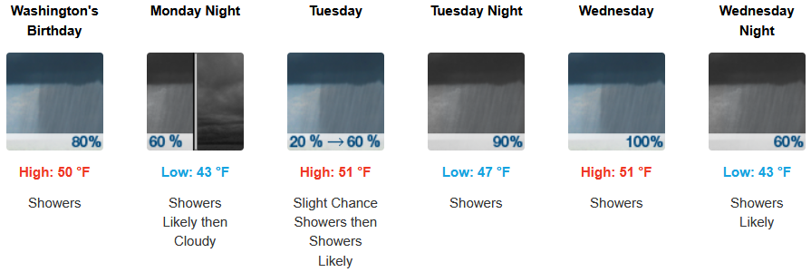
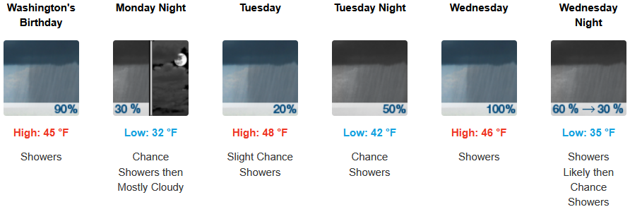
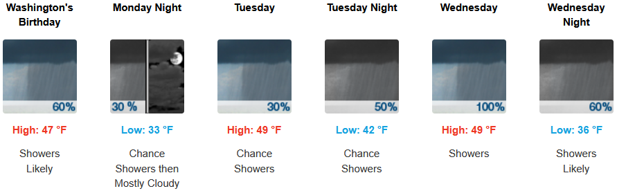
Inland areas can expect intermittent showers through midweek as an unsettled air mass moves across southern Oregon and northern California with rainfall amounts expected to be light, with periods of moderate rainfall and snow levels dropping to the 3100′ elevation. Low temperatures are expected to range from the low to mid 30’s to low 40’s, with highs only getting into the upper 40’s.
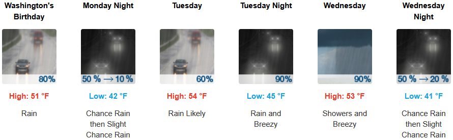
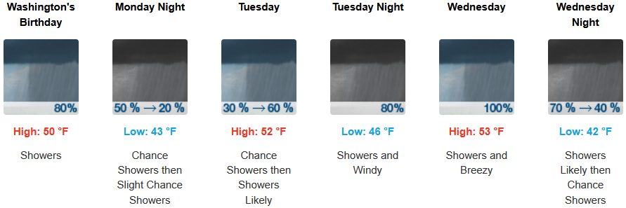
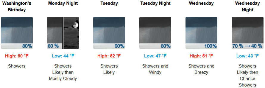
Areas along the coast are forecast to see rain to start the work week as another frontal system approaches continuing through midweek. Temperatures are forecast to be in the low 50’s for afternoon highs with morning lows cooling to the low to mid 40’s through midweek.
Brookings:
Crescent City:
Gold Beach:
Port Orford:
Cave Junction:
Grants Pass:
Medford: